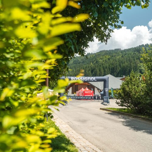
A 20,5 km and 1050 D+/- race
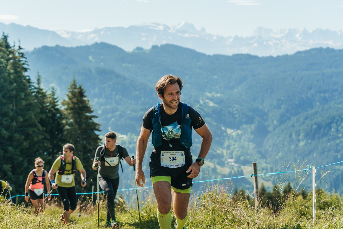
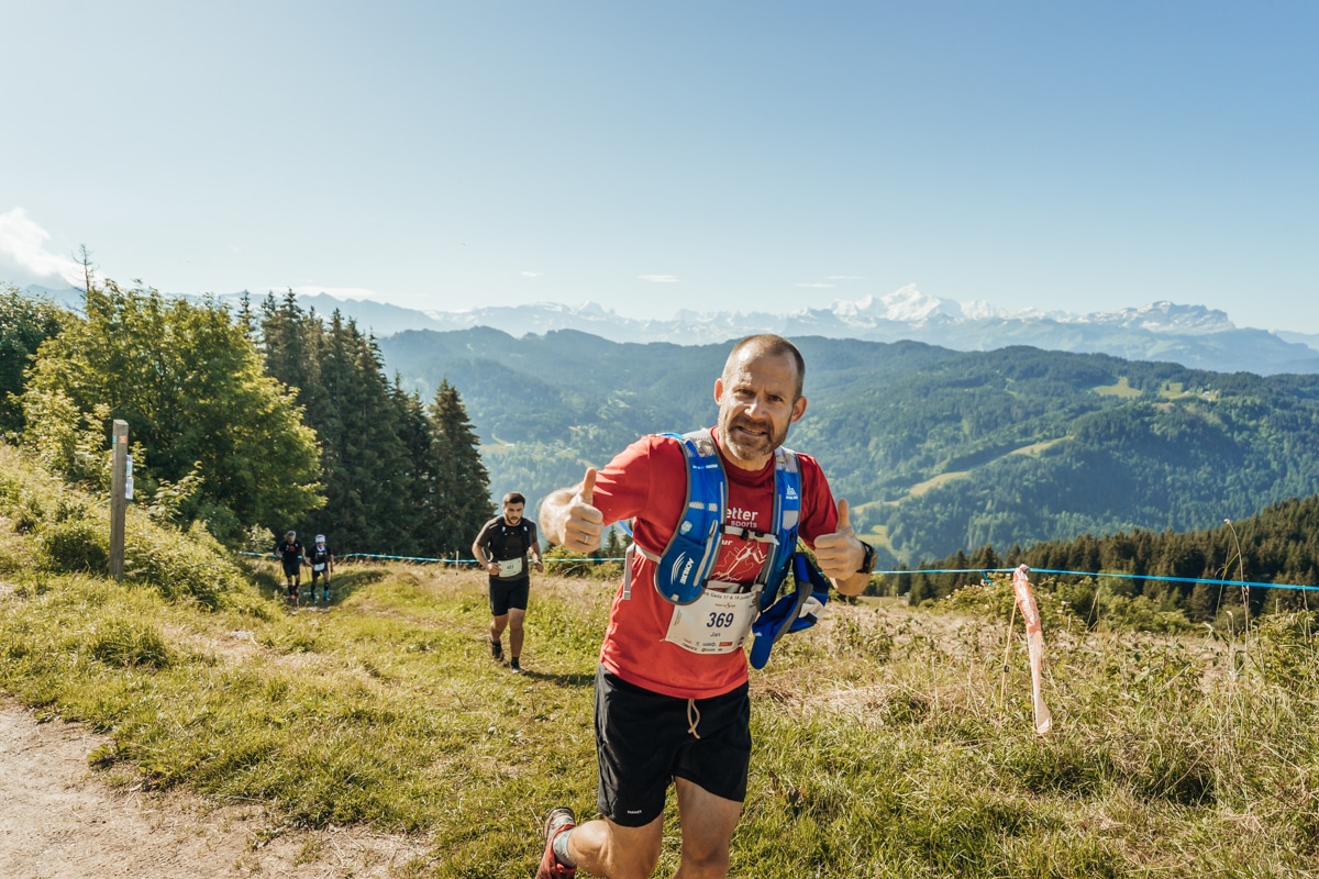
The blue trail offers the option to walk around Mont Chéry on paths alternating between more technical passages in the forest and rolling mountain pasture crossings.
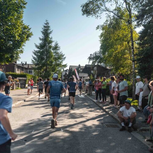
The route starts with a gradual ascent on the road for +/- 2km, before taking a path that will take you to the charming alpine pasture of Mont Caly. After a short contemplative break, continue on a hilly, rolling and playful terrain with the Roc d’Enfer in your sights, to reach the Col de l’Encrenaz pass. A real delight in terms of exercise and views!
You then start a succession of short but intense climbs in the forest to reach the summit of the Mont Chéry. A short break at the halfway point to admire the Pointe de Nantaux, Avoriaz, the Hauts-Forts and the Dents Blanches. You then alternate between forest passages and crossings of clearings before completing the last few kilometres to reach the finish in the centre of the village.
The blue trail, it is :
Distance: 20,5km
Elevation gain: 1050 D+/-
Departure : Sunday 20 July at 8am
Starting area: Salle de la Colombière : 2813 Rte des Grandes Alpes, 74260 Les Gets
Number of race numbers: 750
Collection of race numbers: At the Colombière Hall, Saturday 19 July from 7.30am to 5pm and Sunday 20 July from 5.30am to 9am
Categories: from U23 (2003-2005)
Fee : 30€
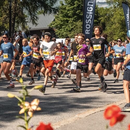
The start of the blue trail will take place in two waves depending on your time objectives of less than 3h20 and more than 3h20.
The plus:
Participation gift – finisher gift
Timing of the race
Refreshments on the course
Safety and rescue
Prize-giving ceremony
TIME BARRIER :

