Live Haut station - 1800mBas station - 1200mWeatherMorning21°Afternoon20°EnneigementDepth0 cmSnow qualityUnknownAvalanche risk1/5Indice de risque faible.WeatherMorning21°Afternoon24°EnneigementDepth0 cmSnow qualityUnknownAvalanche risk1/5Indice de risque faible.
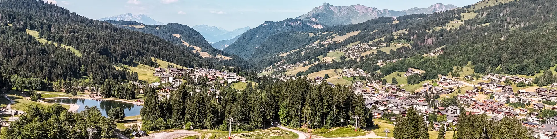
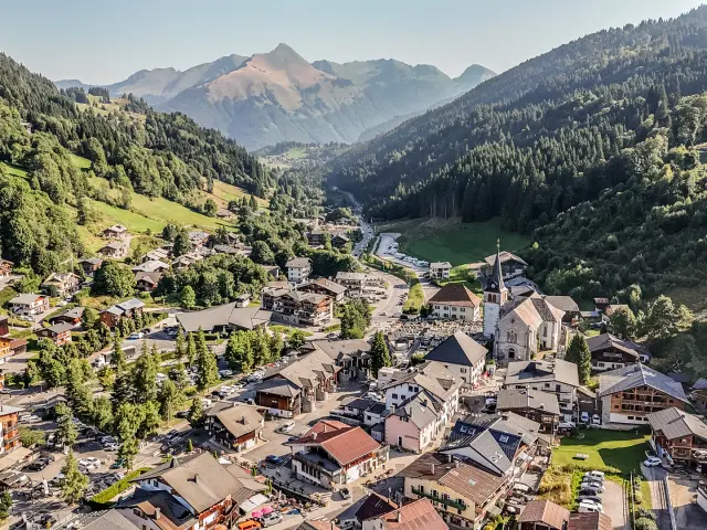
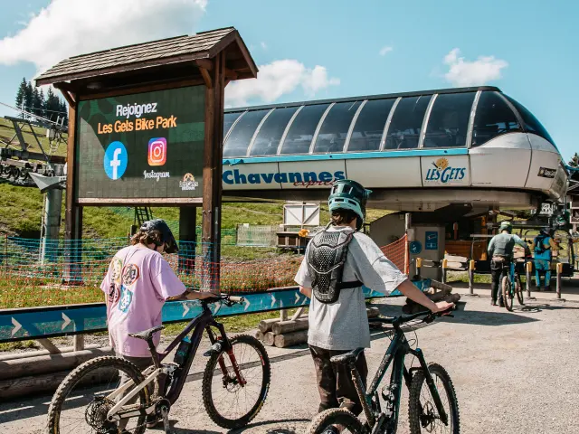
Find out all the information live Les Gets resortdefault©defaultWebcams2023 02 3 Forfait Bois Cpotgets Ld 2©2023 02 3 Forfait Bois Cpotgets Ld 2Packages2023 05 26 Bikepark Ouverture Tim Arnold 17©2023 05 26 Bikepark Ouverture Tim Arnold 17|TIM ARNOLDSki lifts