2022 03 08 Skieur Plan Des Pistes Cplaurabureau 042 Ld
Trail mapmap out your unforgettable itinerary*.
Piste map: Les Gets - Morzine ski area
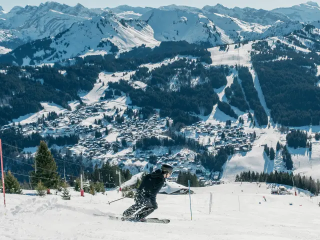
The local Les Gets – Morzine ski area (120 km of pistes, 48 lifts) is a varied playground to suit all tastes. There are two areas on either side of the village:
Map of the Portes du Soleil areaA vast domain of 12 Franco-Swiss resorts
Use our interactive map to see the links between the 12 resorts in the area in just one click. The first cross-border ski area in the world, the Portes du Soleil opens the doors to 650 km of skiing and snowboarding.
Your live toolsessential for preparing your walk
Prepare your hike with our real-time information tools: webcams, weather forecast and piste map.
FAQ : Your questions about the domain
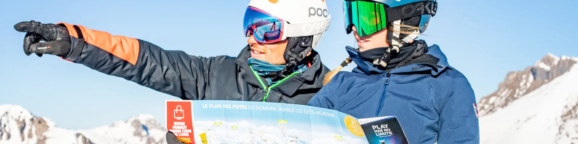
- Where can I find a paper piste map?
They are available free of charge from the Tourist Office, lift ticket offices and equipment hire shops.
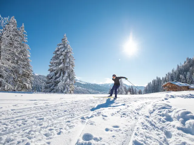
- Does the map show the cross-country skiing areas?
Yes, the Nordic routes are signposted. For more details, see our Cross-country skiing and Nordic activities page.
- How do I know if a link to Morzine or Avoriaz is available?
The interactive map and illuminated signs at the start of the lifts keep you informed in real time of the status of the inter-station links.
- What are the lift times?
Opening times vary according to the season. For full details, see our Opening times page.
- Can you reach the summits without skiing?
Yes, several lifts are accessible to pedestrians. Check the specific rates on the Ski passes page.