An ideal territory for all mountain running enthusiasts who wish to improve their skills or just recharge their batteries.
Explore this natural area of great richness, between forest and mountain pastures. Just look up to appreciate the exceptional panorama with the Mont Blanc in the background.
2 marked trails, including an easy loop for the whole family, are offered in a unique setting on the Mont Chéry sector.
2 marked trail routes
Trail routes in Les Gets
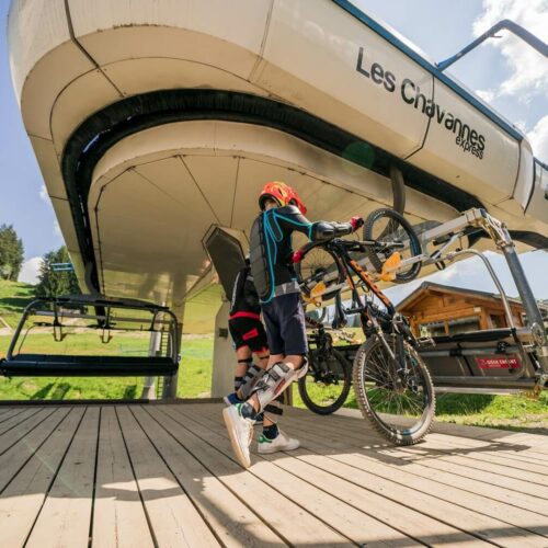
Accessible by the Mont Chéry cable car, all routes start and end at the arrival station.
Trail 17 – Green – Mont Caly
Distance : 5.8 km
Elevation gain : 165m D+
Topographie
Trail 19 – Red – Les Crêtes du Mont Chéry
Distance : 11.5 km
Elevation gain : 800m D+
Topographie
Tags
All the routes are marked with signs indicating :
– The colour of the route corresponding to the difficulty (like the ski slopes)
– The number of the tag
– The direction to follow
Trail in The Portes du Soleil
Discover or re-discover the Portes du Soleil via its 44 permanent trail routes, accessible to all levels. Cross the borders and follow the 470 km of marked trails. Enjoy breathtaking panoramic views thanks to the 25 ski lifts that operate in summer.The Portes du Soleil Trail Running offer meets the needs of mountain and open space enthusiasts. Whether you are an expert or a beginner, you can learn to trail run, progress or train. The pedestrian lifts help everyone to manage their effort according to their level and their desires.In total by difficulty :
14 green trails
17 blue trails
12 red trails
1 black courseGo to http://tracedetrail.fr/fr/portesdusoleil or the Les Gets Tourist Office to find out more!
Download the GPS App to learn about the trail in the Portes du Soleil
Click here to dowload the App TRAIL RUNNING PORTES DU SOLEIL :
With this application, download the Portes du Soleil trail itineraries in your smartphone ! Search for your route on the application according to your starting point, length and difficulty. Follow your progress live with GPS tracking on the route, live weather forecast with webcams, a rescue alert function etc.