

Description
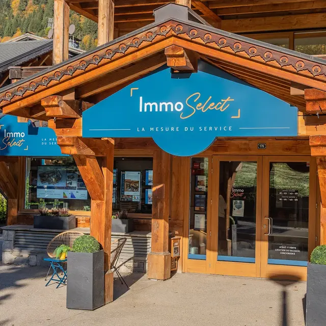
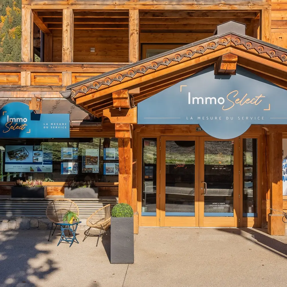
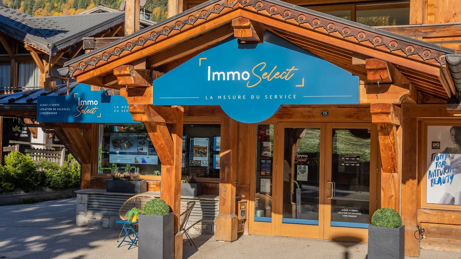
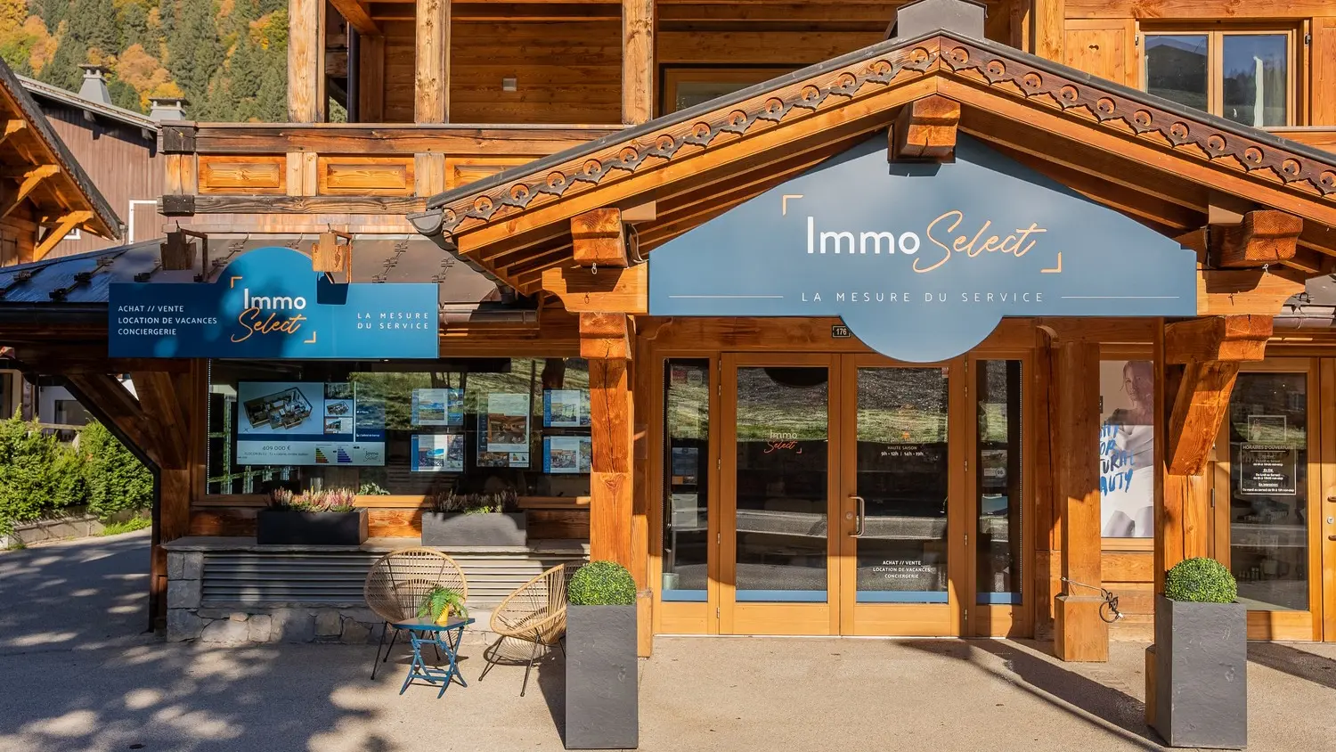
Real estate agency specialising in sales and rentals, located on Route du Front de Neige
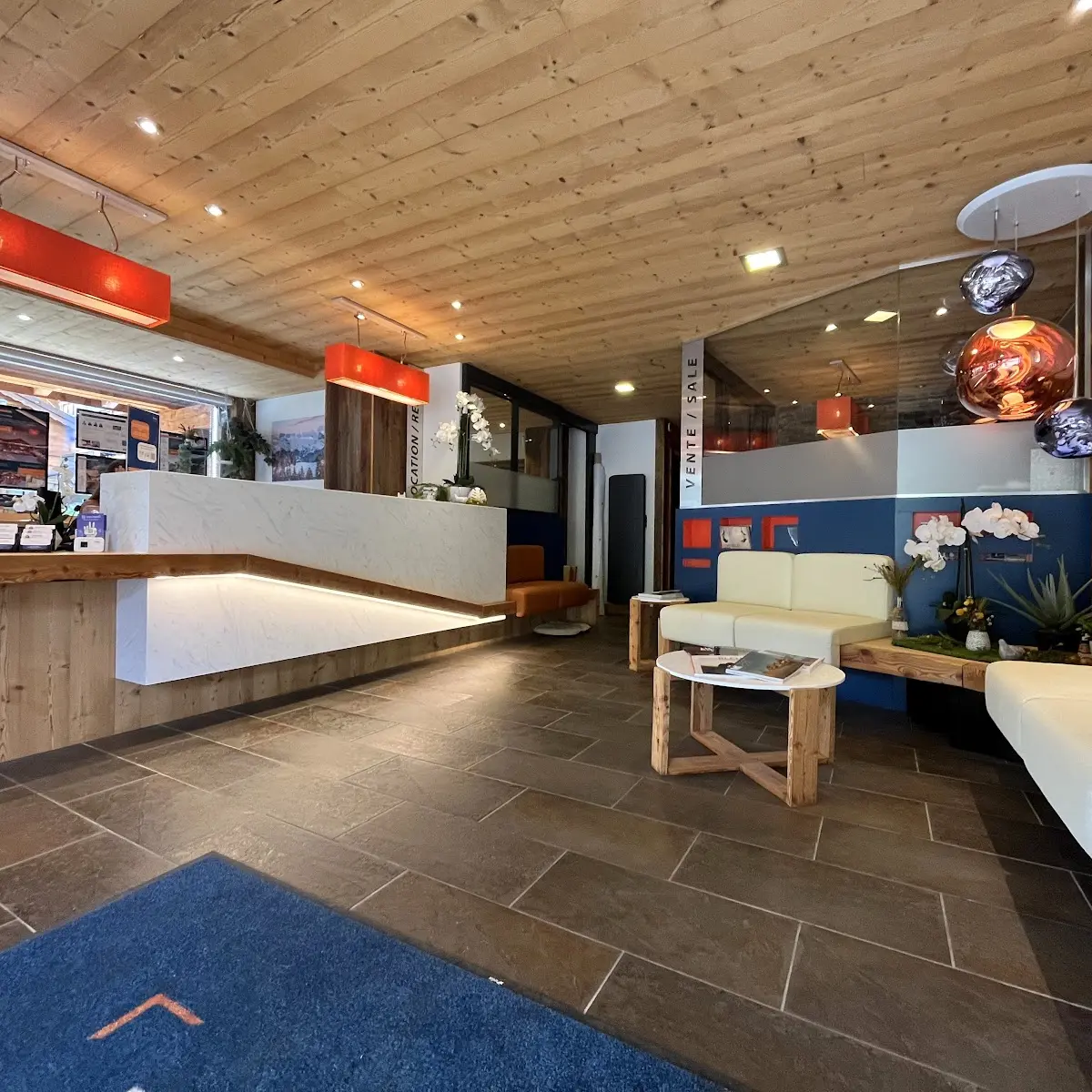
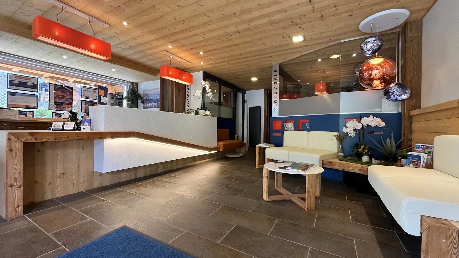
Immo’Select is a real estate agency located at 176 Route du Front de Neige, specialising in comprehensive support for property transactions and rentals in the Alpine resort.
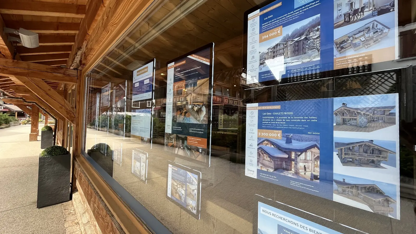
The agency offers a wide range of tailored real estate services, including the sale and purchase of properties (chalets, apartments and homes) suited to all needs — ski-in/ski-out, village centre or quieter residential areas — as well as access to new developments and prestigious properties.
Immo’Select also provides a varied selection of seasonal and holiday rentals, ranging from cosy apartments to high-end chalets, allowing guests to fully enjoy the mountain experience in both winter and summer.
For property owners, the agency offers personalised rental management services, including profitability optimisation, booking management, property maintenance and concierge services, ensuring peace of mind throughout the year.
The local Immo’Select team relies on in-depth knowledge of the Les Gets property market, attentive listening and professional guidance to support every project — whether it is a first purchase, a rental investment or the organisation of a mountain holiday — with efficiency and confidence.