
Level
Blue (Intermediate / Easy)
Negative gradient
453 m D-
Length in km
5.7 km
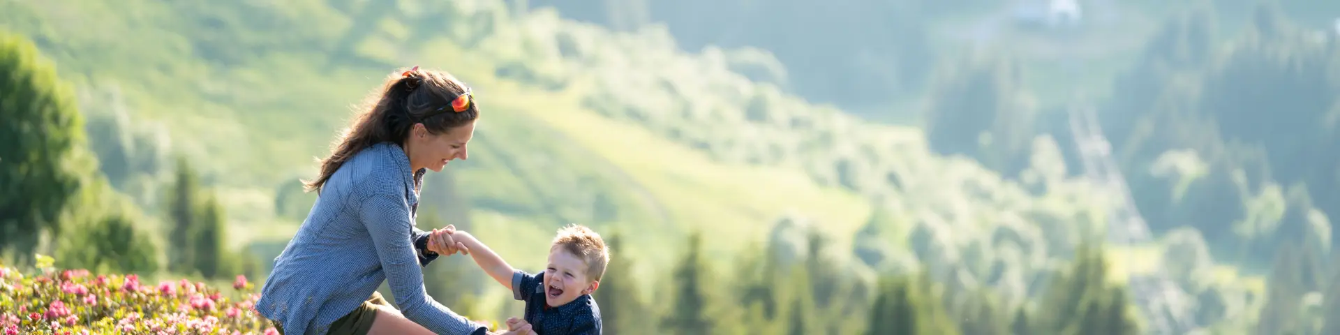
2018 09 21 Rando Famille Lesgets Keno Photographie 8890
The route starts gently as soon as you get off the Chavannes Express chairlift, on the resort’s ridges.
The descent : Follow the signs for “Les Gets” carefully. The route is entirely safe, using wide tracks that are closed to motorised vehicles.
Safety & Comfort: The route is cleverly separated from the mountain bike tracks, guaranteeing you a peaceful walk. You’ll alternate between refreshing forest sections and crossings of large alpine meadows offering uninterrupted views.
The finish: The path leads you naturally back down to the bottom of the resort, passing close to the Lac des Écoles before returning to the village centre.
Beyond the effort, this trail tells a story: the story of a living mountain and its fragile ecosystems.
The Alpage de la Mouille Ronde is a true testament to life at altitude. Here, cows graze freely to produce the milk for local farmhouse cheeses. It’s the perfect place for a gourmet stop-off and direct sales.
The Mouille des Boittets peat bog is located near the Lac des Écoles, and this wetland is a treasure trove of biodiversity. This water-saturated soil stores carbon and is home to rare plants and protected amphibians. It plays a major ecological role in regulating water levels in the mountains.
Prepare your hike with our real-time information tools: webcams, weather and trail maps.