
©

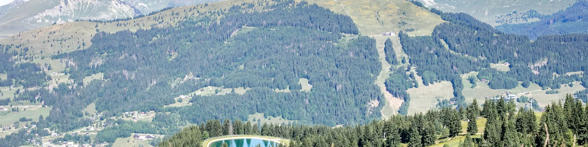
2022 07 11 Paysage Roc D Enfer Lesgets Cplaurabureau 08 Ld

La Chapelle de Jacquicourt - Variant Summer walking - Red level

Discover the itinerary

Total immersion in the wilderness! This 12km route takes you well off the beaten track. With its open views over the mountain pastures and peaceful descents through the forest, this is an authentic, unspoilt mountain experience.

Level

Red (Sporty / Advanced)

Elevation gain

D+ 192 m

Negative gradient

645 m D-

Length in km

12 km (approx. 4h00)
Route description 

This route takes in the wide open spaces and unobstructed views before plunging into the calm of the woods.

  • The balcony crossing: From the arrival point of the Chavannes Express chairlift, follow the signs for “Les Gets” as far as the Mouille aux Chats crossroads. Turn left towards the Pointe de la Turche. This balcony section is spectacular and offers open views over the mountain pastures.
  • The wild heart: Continue as far as the Lairon sector to reach the legendary Chapelle de Jacquicourt, isolated in the middle of the plateau.
  • The return to the forest: The return to the resort is a long, shady descent. You pass through Le Sincerneret, then Guilland and the Château area before reaching the centre of Les Gets. This part of the descent in the forest ensures total immersion and a welcome coolness.

Heritage & Nature

The scenery through which you pass is not only beautiful, it is also steeped in secrets and age-old traditions:

  • Jacquicourt chapel: A veritable sentinel of the Plateau de Loex (Natura 2000 site), it was for a long time a major place of pilgrimage where people invoked divine protection for the harvests. It was also a vital rallying point for isolated shepherds.
  • Hameau du Sincerneret: Passing through this hamlet, you can imagine the hustle and bustle of the summer pastures of yesteryear. Its name evokes the deep agricultural roots of the commune, when every patch of tall grass was a precious resource for the herds.

Your live tools essential for preparing your walk

Prepare your hike with our real-time information tools: webcams, weather and trail maps.